Population 3,817 (2011 census) Postal code 2753 | Postcode(s) 2753 | |
 | ||
Location 60 km (37 mi) west of Sydney CBD | ||
Londonderry is a suburb of Sydney, in the state of New South Wales, Australia. It is 60 kilometres west of the Sydney central business district, in the local government area of the City of Penrith and is part of the Greater Western Sydney region.
Contents
Map of Londonderry NSW 2753, Australia
History
Londonderry takes its name from the 1831 grant of 30 acres (120,000 m2) to Thomas Kendall.
Its Post Office opened on 1 February 1935.
Geography
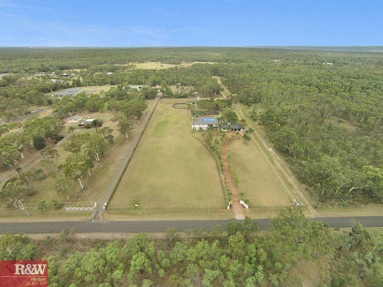
Londonderry is located in the northernmost part of the City of Penrith with the Driftway forming the boundary with the Hawkesbury City Council area. The Northern Road divides Londonderry from Berkshire Park while Cranebrook and Agnes Banks are its boundaries on its southern and western sides. Londonderry is a rural area and much of it still crown land. Because of its closeness to Richmond and distance from Penrith, the suburb has always had stronger links with Richmond than with Penrith.
Commercial area
Londonderry village in the centre of the suburb is a vital community connection point for local residents in the area. Amenities include shops, service stations, a post office, a community hall, Londonderry Public School and the Londonderry Rural Fire Brigade station.
