
Time zone IST (UTC+5:30) Population 8,329 (2011) | Elevation 652 m Local time Sunday 3:29 PM | |
 | ||
Weather 33°C, Wind SW at 8 km/h, 18% Humidity | ||
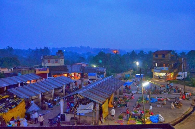
Londa (Kannada: ಲೊಂಡ) is a census town in Belgaum district in the Indian state of Karnataka.The town is on border with state of Goa. The town is surrounded by lush evergreen forests known as Sahayadri or Western ghats of India. Londa Junction railway station is located on Belgaum - Goa railway route. Many people alight here for trek in Western ghats.
Contents
Map of Londa, Karnataka 591301
Geography
Londa is located at 15.47°N 74.52°E / 15.47; 74.52. It has an average elevation of 652 metres (2139 feet).
Demographics
As of 2011 India census, Londa had a population of 8,329. Males constitute 51% of the population and females 49%. Londa has an average literacy rate of 72%, higher than the national average of 59.5%: male literacy is 80%, and female literacy is 63%. In Londa, 11% of the population is under 6 years of age. Konkani, Marathi and Kannada are the languages spoken here.