
Country United States Elevation 253 m Local time Sunday 1:46 AM | GNIS feature ID 0469277 Area 115.8 km² Population 382 (2000) | |
 | ||
Weather -2°C, Wind NE at 8 km/h, 96% Humidity | ||
Lola Township is a township in Cherokee County, Kansas, USA. As of the 2000 census, its population was 382.
Contents
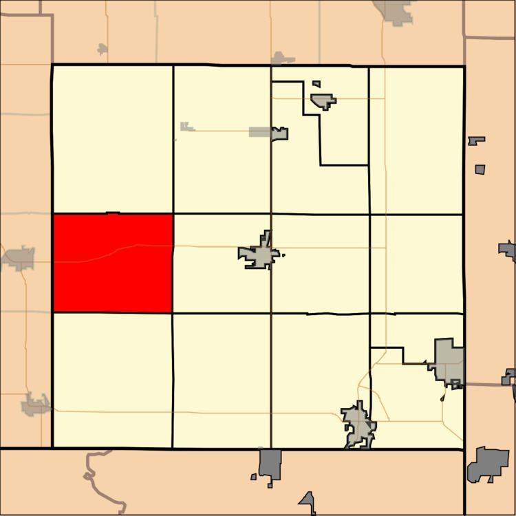
Map of Lola Township, KS, USA
Geography
Lola Township covers an area of 44.72 square miles (115.8 km2) and contains no incorporated settlements. According to the USGS, it contains four cemeteries: Cherokee, Dove, Garrison and Spickelmire.
The streams of Deer Creek, Denny Branch, Fly Creek, Fourmile Creek, Lightning Creek and Wolf Creek run through this township.
Transportation
Lola Township contains one airport or landing strip, Oswego Municipal Airport.
References
Lola Township, Cherokee County, Kansas Wikipedia(Text) CC BY-SA