
GNIS feature ID 453580 Area 62.96 km² Population 474 (2010) | ZIP codes 47567, 47598 Elevation 136 m Local time Saturday 11:17 PM | |
 | ||
Weather -1°C, Wind N at 10 km/h, 44% Humidity | ||
Logan Township is one of nine townships in Pike County, Indiana, United States. As of the 2010 census, its population was 474 and it contained 175 housing units.
Contents
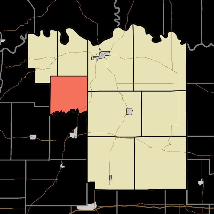
- Map of Logan Township IN USA
- History
- Geography
- Unincorporated towns
- Cemeteries
- Major highways
- School districts
- Political districts
- References
Map of Logan Township, IN, USA
History
Logan Township was organized in 1846.
Geography
According to the 2010 census, the township has a total area of 24.31 square miles (63.0 km2), of which 23.94 square miles (62.0 km2) (or 98.48%) is land and 0.37 square miles (0.96 km2) (or 1.52%) is water. The Patoka River defines the township's southern border.
Unincorporated towns
(This list is based on USGS data and may include former settlements.)
Cemeteries
The township contains these seven cemeteries: Barnes, Beck, DeJarnett, Loveless, McGillem, Willis and Wilson.
Major highways
School districts
Political districts
References
Logan Township, Pike County, Indiana Wikipedia(Text) CC BY-SA