Supriya Ghosh (Editor)

Logan Township, Marion County, Kansas

Updated on
Edit
Like
Comment
Share on FacebookTweet on TwitterShare on LinkedInShare on Reddit
Country
  
United States

County
  
Marion

FIPS code
  
20-41950

Elevation
  
457 m

Local time
  
Saturday 10:16 PM

Area code
  
620

State
  
Kansas

Time zone
  
CST (UTC-06:00)

GNIS feature ID
  
477105

Area
  
93.2 km²

Population
  
104 (2010)

Logan Township, Marion County, Kansas

Weather
  
-2°C, Wind NE at 10 km/h, 95% Humidity

Logan Township is a township in Marion County, Kansas, United States. As of the 2010 census, the township population was 104.

Contents

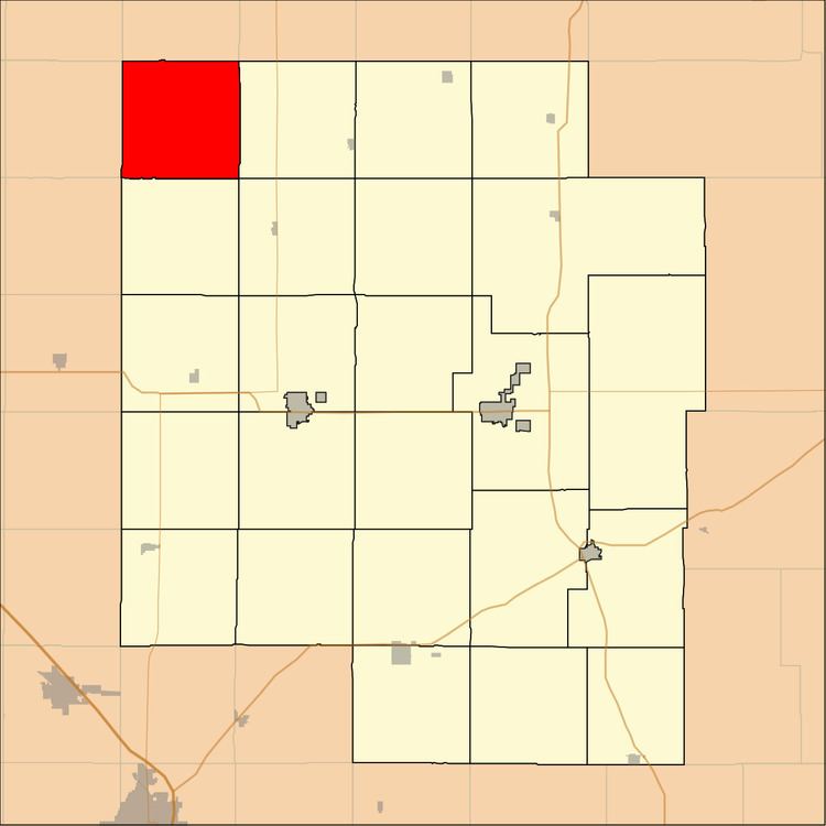
Map of Logan, KS, USA

Geography

Logan Township covers an area of 36 square miles (93.2 km2).

Cities and towns

The township contains the following settlements:

  • No cities of unincorporated communities.
  • Cemeteries

    The township contains the following cemeteries:

  • Beltz Cemetery (a.k.a. "Early" Mennonite Brethren Church Cemetery), located in Section 34 T17S R1E.
  • Elm Springs Bible Hall Cemetery, located in Section 17 T17S R1E.
  • Friedesthal Cemetery (a.k.a. Central Heights Cemetery) (a.k.a. Peace Valley Cemetery), located in Section 21 T17S R1E.
  • Kaiser Cemetery (a.k.a. "Early" Congregational Church Cemetery), located in Section 36 T17S R1E.
  • Logan Cemetery (a.k.a. Morning Star Cemetery), located in Section 13 T17S R1E.
  • References

    Logan Township, Marion County, Kansas Wikipedia