
Country France Department Somme Intercommunality Canton de Conty Area 17.21 km² Population 840 (2006) | Region Hauts-de-France Canton Conty Time zone CET (UTC+1) Local time Sunday 4:15 AM Arrondissement Amiens | |
 | ||
Weather 5°C, Wind SE at 5 km/h, 88% Humidity | ||
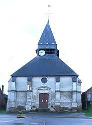
Loeuilly is a commune in the Somme department in Hauts-de-France in northern France.
Contents
Map of 80160 Loeuilly, France
Geography
Loeuilly is situated on the D8 road, some 10 miles (16 km) southwest of Amiens, on the banks of a tributary of the Somme river, the river Selle, which splits here into streams and forms many lakes.
The commune is subject to flooding and has measures in place to prevent it.
History
Loeuilly was inhabited during Gallo-Roman times. The first settlement was alongside the river near a drinking trough, fed by a spring, the Blaire fountain. The water, renowned for its digestive qualities, was sold to the public, before mains water was available.
In 1472, Burgundian troops led by Charles the Bold destroyed the château.
In 1593, the inhabitants tried in vain to stop the Catholic League coming into the village, which was partially burnt down.
Many watermills, and later, factories powered by the water, sprang up along the river, to take advantage of the natural force. A mill pond once filled the area near where the Mairie and car-park are found today.
The railway from Beauvais to Amiens ran through the town from 1876 to 1939. The old route is now a popular walk.