
Time zone CST (UTC-6) Elevation 189 m Local time Saturday 8:15 PM | Established November 7, 1865 ZIP codes 62555, 62557, 62568 Area 93.5 km² Population 1,825 (2010) | |
 | ||
Weather -2°C, Wind N at 8 km/h, 44% Humidity | ||
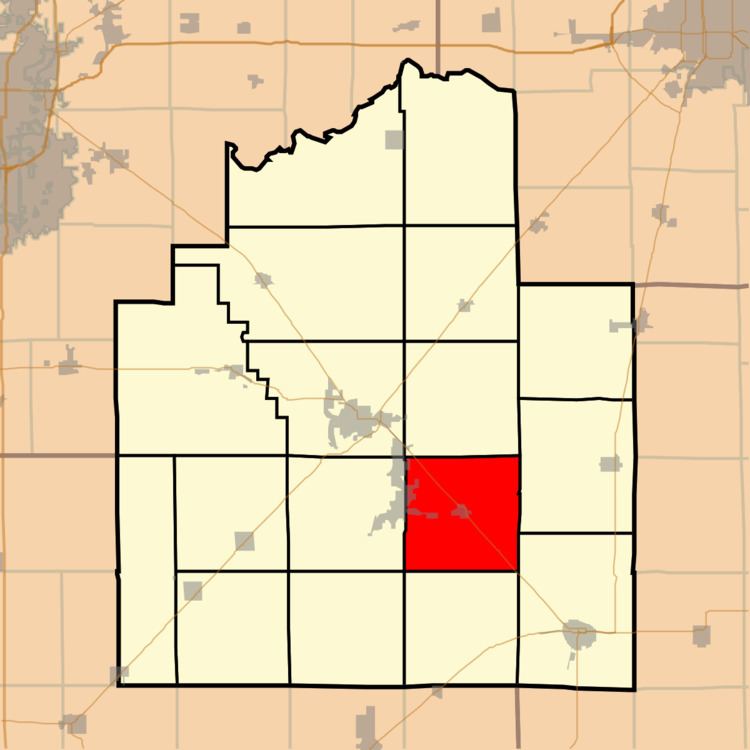
Locust Township is one of seventeen townships in Christian County, Illinois, USA. As of the 2010 census, its population was 1,825 and it contained 263 housing units.
Contents
- Map of Locust Township IL USA
- Geography
- Cities towns villages
- Unincorporated towns
- Cemeteries
- Major highways
- Airports and landing strips
- School districts
- Political districts
- References
Map of Locust Township, IL, USA
Geography
According to the 2010 census, the township has a total area of 36.1 square miles (93 km2), of which 35.84 square miles (92.8 km2) (or 99.28%) is land and 0.26 square miles (0.67 km2) (or 0.72%) is water.
Cities, towns, villages
Unincorporated towns
Cemeteries
The township contains these four cemeteries: Buckeye, Donner, Durbin and Millersville.
Major highways
Airports and landing strips
School districts
Political districts
References
Locust Township, Christian County, Illinois Wikipedia(Text) CC BY-SA