
Postcode(s) 4722 Lochington Minerva | Postal code 4722 | |
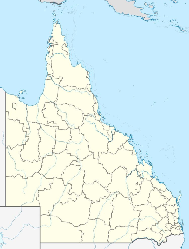 | ||
Lga Central Highlands Regional Council | ||
Lochington is a locality in the Central Highlands Region, Queensland, Australia. In the 2011 census, Lochington's population was too low to be separately reported and was combined with neighbouring Willows which had a reported population of 308 people.
Contents
Map of Lochington QLD 4720, Australia
Geography
The Capricorn Highway passes through the north of the locality. The locality is bordered by Lake Maraboon to the north-east. The Snake Range National Park is within the locality.
History
Lochington pastoral station obtained a mail service on 1 January 1937.
Lockington Provisional School opened 23 January 1961 on land that was once part of Lockington pastoral station. It became Lockington State School at a new site in January 1965. The school closed 14 December 1979 due to low student numbers. On 29 January 1991, Lochington State School was reopened (but with a new spelling of the name).
Education
Lochington State School is a government co-educational primary (P-7) school at a remote location (23.943506°S 147.525284°E / -23.943506; 147.525284 (Lochington State School)). In 2013, the school had 3 students (from the same family) and 1 teacher.