
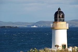
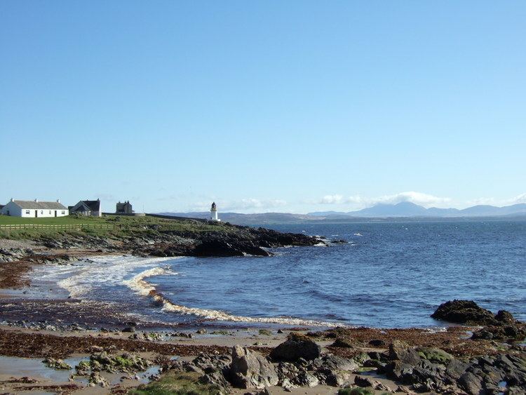
Construction brick tower Characteristic Fl WR 7s. Height 13 m | Light source mains power Focal height 15 m Year first constructed 1869 | |
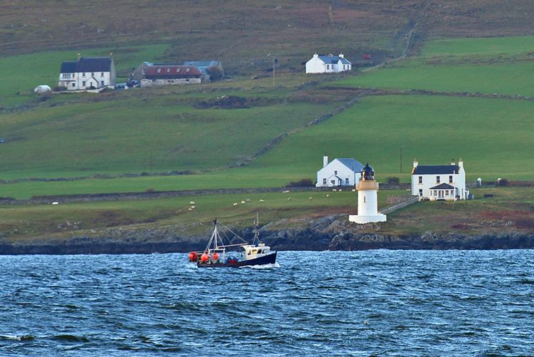 | ||
Location Port CharlotteIslayArgyll and ButeScotlandUnited Kingdom Tower shape ctlindrical tower with balcony and lantern Markings / pattern white tower, black lantern, ochre trim | ||
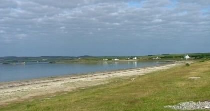
Loch indaal isle of islay scotland
Loch Indaal (or Lochindaal) is a sea loch on Islay, the southernmost island of the Hebrides, off the west coast of Scotland. Together with Loch Gruinart to the north, it was formed by the Loch Gruinart Fault, which branches off the Great Glen Fault.
Contents
- Loch indaal isle of islay scotland
- Schiehallion performing lights of loch indaal at the gellions
- WatersEdit
- The Big Strand and Laggan BayEdit
- References
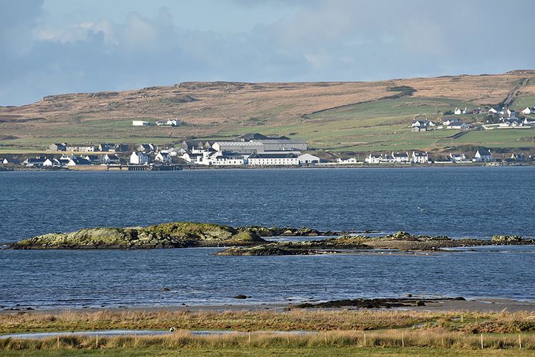
Along the northwestern coast are the villages of Bruichladdich and Port Charlotte. Along its northeastern shore is the tiny village of Bridgend and on its southeastern shore is the island capital of Bowmore.
At night the lights of the villages along the three sides of the loch inspired the well-known folk song "The Lights of Lochindaal" by Iain Simpson.
South of Bowmore the entire coastline is a six-mile-long sandy beach stretching to Kintra. This beach, known as the Big Strand, is very popular with holidaymakers and locals alike in the summer.
Schiehallion performing lights of loch indaal at the gellions
WatersEdit
Loch Indaal slopes gently from its NE corner down to its opening into the Atlantic. At the mouth of the loch, which lies between Portnahaven to the north and the American Monument on The Oa to the south, the depth is around 40 metres, rising steadily upwards towards the northeast and reaching a depth of barely 10 metres between Laggan Point and Port Charlotte.
The waters of the loch are calm and safe but the approaches are hazardous especially for small vessels. There are tidal streams, eddies, races and heavy overfalls both in the east and west flowing streams of the tide.
The Big Strand and Laggan BayEdit
The eastern shore of the loch is taken up by the six mile length of the Big Strand, the area as a whole being known as Laggan Bay. The Big Strand itself is sandy along its whole length being broken by a rocky outcrop roughly half way along its length at Glenegedale Airport.
In the north the Big Strand is accessible by car along a stretch of unmade road leading from Island farm, on a road signed off the A846 south of Bowmore. The river Laggan empties into the ocean near the northern point of the beach. In the south the Big Strand is accessible from Kintra Farm on the Oa.
Glenegedale Airport has two runways, although one is not in use. The approach from to the northwest runway takes aircraft over Lochindaal at very low altitude giving excellent views of Laggan Bay.