
Max. length 3.0 km (1.9 mi) Average depth 27.7 ft (8.4 m) Surface elevation 80 m Mean depth 8.44 m | Surface area 3.36 km (1.30 sq mi) Max. depth 70 ft (21 m) Area 3.36 km² Length 3 km | |
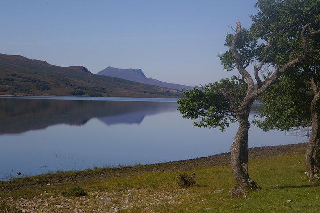 | ||
Loch Achall (Gaelic: Loch Ach a' Challa - loch of the hazel field) is a freshwater loch, lying 2 miles northeast of Ullapool, in Rhidorroch, Ross and Cromarty, Scotland.
Contents
Map of Loch Achall, Ullapool, UK
Geography
Loch Achall is a long narrow loch, 0.579 km (0.360 mi) at its widest point. It is dominated by the peaks of the Marilyn's Beinn Eilideach directly to the south, at 1,833 ft (559 m) and the peak of Meall Liath Choire to the north east at 1,801 ft (549 m). The loch is fed by the Rivers Rhidorroch and Allt a'Ghiubhais, while the River Ullapool flows from its western end towards Loch Broom.
References
Loch Achall Wikipedia(Text) CC BY-SA