Discharge 19 m³/s Source Serra del Cadí | Length 170 km Basin area 4,948 km² | |
 | ||
River mouth Mediterranean Sea0 m (0 ft) Basin size 4,948.3 km (1,910.5 sq mi) Tributaries Left:Riera de Merlès, Riera Gavarresa, Riera de Rubí, Riera de VallvidreraRight:Bastareny, Cardener, Anoia Bridges Pont del Diable, Sant Boi Bridge | ||
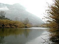
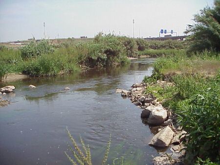
Fly fishing in llobregat river pobla de lillet spain
The Llobregat ([ʎuβɾəˈɣat]) is the second longest river in Catalonia, Spain. Its name could have originated in an ancient Latin word meaning 'dark', 'sorrowful' or 'muddy'.
Contents
- Fly fishing in llobregat river pobla de lillet spain
- Larus cachinnans 1w 5 1 2014 llobregat river barcelona
- CourseEdit
- TributariesEdit
- References
Larus cachinnans 1w 5 1 2014 llobregat river barcelona
CourseEdit
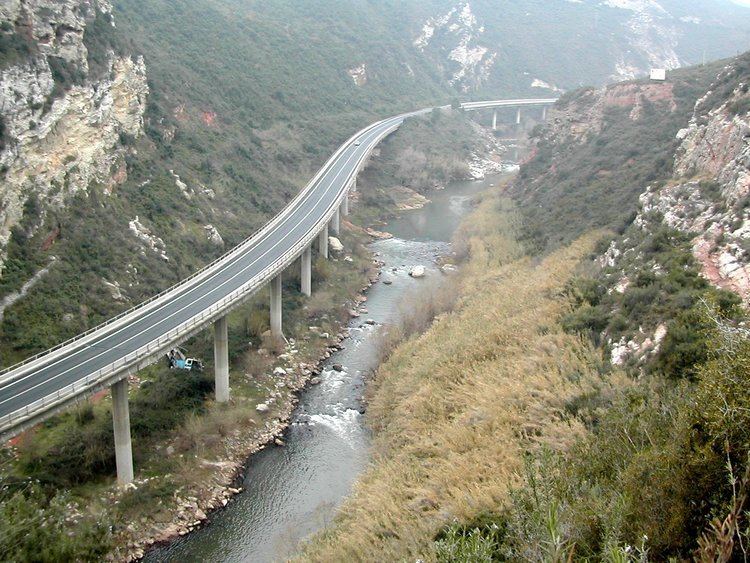
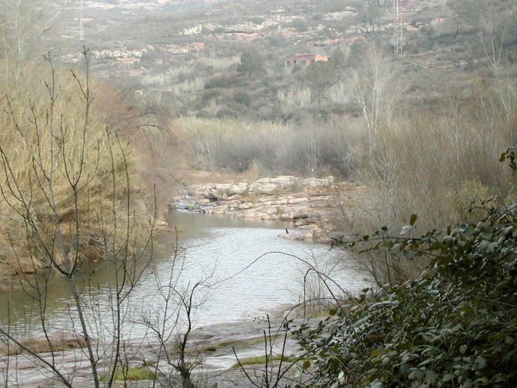
The Llobregat originates at an elevation of 1,259 metres (4,131 ft) in the Serra del Cadí, within the limits of Castellar de n'Hug municipality, Berguedà comarca. The total length of the river is over 170 kilometres (110 mi). At Martorell, the Roman Via Augusta crosses the river on the impressive Devil's bridge, which dates from the High Middle Ages in its current form. The C-16 highway is also known as the 'Llobregat Axis' (Catalan: Eix del Llobregat) for its largest stretch follows the valley of the Llobregat.
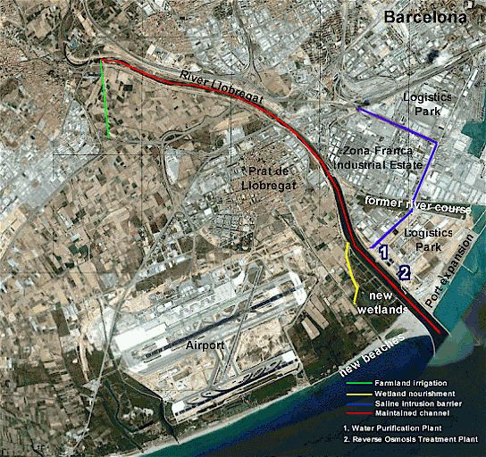
The river ends in the Mediterranean Sea forming the Llobregat Delta, in the municipality of El Prat de Llobregat, near Barcelona. The delta provided a large extension of fertile land close to the city of Barcelona, but is now largely paved, urbanized or covered by infrastructure such as the Barcelona–El Prat Airport.
The Llobregat is heavily managed in its lower course and water that was previously lost to the sea is now pumped upstream to increase the natural flow, recharge the river delta wetlands and control seawater incursion.
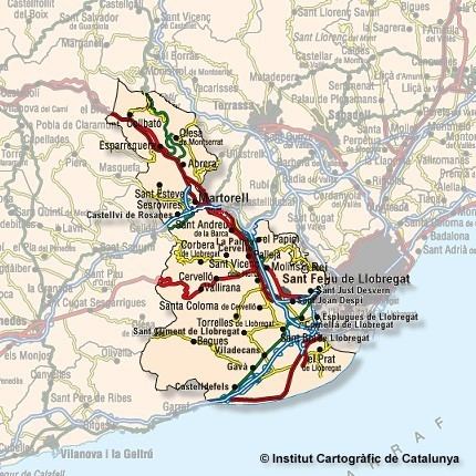
TributariesEdit
The main tributaries of the Llobregat are: