
Population 1,141 (2011) Sovereign state United Kingdom Local time Thursday 12:00 PM | OS grid reference SO045625 Country Wales Post town Llandrindrod Wells | |
 | ||
Weather 8°C, Wind NE at 21 km/h, 83% Humidity | ||
Llanyre (English corruption from Welsh: Llanllŷr-yn-Rhos) is a village and electoral ward in Powys, Wales. The community had a population of 1,061 in 2001, increasing to 1,141 at the 2011 Census. It includes the village of Newbridge-on-Wye.
Contents
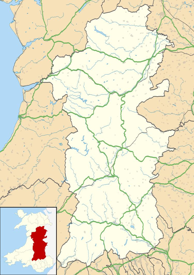
Map of Llanyre, Llandrindod Wells, UK
Location
Llanyre is to the west of Llandrindod Wells, in the upper Wye Valley. The area is largely rural, and is probably best known for its fishing and walking opportunities - with easy access to the Elan Valley and Brecon Beacons.
Architecture
Housing in Llanyre comprises an eclectic mix of nineteenth century stone and brick housing, with newer, more modern housing schemes currently under development.
Administration
The electorate of Llanyre was 940 in 2005. Administration is undertaken by the Llanyre Community Council. This is divided into three wards, consisting of 12 elected members, as such:
Meetings are held every third Tuesday in the month, excluding August.
Church of St Llyr
The Church of St Llyr lies to the south of the village, on the west of the A4081 road to Rhayader. Rebuilt entirely from 1885-7, little remains of the original church apart from the very front of the building.
It is a grade II* listed building.