
State California Time zone Pacific (PST) (UTC-8) Zip code 93544 Local time Thursday 4:41 AM | ZIP codes 93544 Population 1,201 (2000) Area code 661 | |
 | ||
Country United States of America Weather 5°C, Wind W at 26 km/h, 79% Humidity | ||
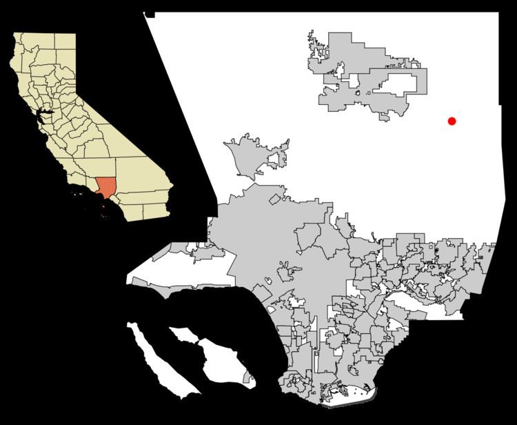
Llano is an unincorporated community located in Los Angeles County, California, near the San Bernardino County line. The town has a population of about 1,200.
Contents
Map of Llano, CA 93544, USA
Geography
Llano is located about 25 miles (40 km) southeast of Palmdale in the Antelope Valley portion of Southern California. The town of Pearblossom lies to the west, while the town of Pinon Hills lies to the east.
Pearblossom Highway (State Route 138) runs through the heart of Llano and is its principal street.
Climate
The region experiences warm (but not hot) and dry summers, with no average monthly temperatures above 71.6 °F. According to the Köppen Climate Classification system, Llano has a warm-summer Mediterranean climate, abbreviated "Csb" on climate maps.
Details
History
Llano is a name derived from Spanish meaning "plain".
Llano was once the home of English writer Aldous Huxley.
At the turn of the 20th century there were socialist colonies in Llano, the most notable being Job Harriman's Llano del Rio commune. The ruins of Llano del Rio are still extant along Highway 138 east of 165th Street East.