
Population 587 (2011) Sovereign state United Kingdom Local time Thursday 11:30 AM | Country Wales Police Dyfed-Powys | |
 | ||
Weather 10°C, Wind E at 24 km/h, 69% Humidity | ||
Llangynfelyn is a village and a community in north Ceredigion. It lies midway between the towns of Aberystwyth and Machynlleth, and stretches from the Afon Leri estuary in the west, to Moel y Llyn (521m) in the east, and from north of Talybont on the A487 to the south, to Lodge Park in the north. Total area is 5109 acres (8 sq. miles, 10.7 km2.) As of 2001 it had a population of 641, reducing to 587 at the 2011 Census. The population is concentrated in the two villages of Tre-Taliesin and Tre'r Ddôl, together with the settlements of Llangynfelyn, and Craig y Penrhyn.
Contents
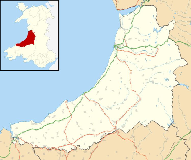
Map of Llangynfelyn, UK
The parish is named after the parish church of St Cynfelyn, hence the official name of Llangynfelyn. Various alternate spellings are used, particularly Llancynfelyn and Llancynfelin.
Llangynfelyn Community Council (Cyngor Cymuned Llangynfelyn) has nine members and meets monthly. The present members were elected in 2012.
Tre'r Ddôl
Soar Chapel in Tre'r Ddôl was formerly the site of the Hen Gapel (Old Chapel) Museum, a branch of the Welsh National Folk Museum which closed in the 1990s. The museum was originally created in the late 1960s by the academic R J Thomas, editor of the Geiriadur Prifysgol Cymru. Soar Chapel was chosen for its links with Humphrey Rowland Jones (1832–1895), who had begun the 1858–60 Welsh revival there.
Other notable residents of Tre'r Ddôl were the poet and farmer Dic Jones, who was born there, and the writer Elma Mary Williams.