
Local time Thursday 11:24 AM | ||
 | ||
Weather 8°C, Wind NE at 26 km/h, 86% Humidity | ||
Beating the bounds beaumaris part 3 of 3 getting wet around llangoed
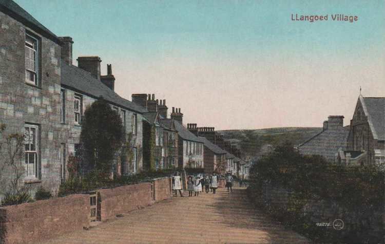
Llangoed is a small village, community and electoral ward just north of Beaumaris, on the Isle of Anglesey or Ynys Môn, at grid reference SH609793. The Royal Mail postcode begins LL58. Llangoed ward has a population of 1,275 (2001), falling at the 2011 census to 1,229.
Contents
- Beating the bounds beaumaris part 3 of 3 getting wet around llangoed
- Map of Llangoed Beaumaris UK
- References
Map of Llangoed, Beaumaris, UK
The village's placename means the 'religious enclosure in the wood' in the Welsh language.
Llangoed is on the banks of a brook called the Afon Lleiniog, which flows from the hamlet of Glanrafon to the sea, beneath the ruins of an 11th-century motte-and-bailey castle, Castell Aberlleiniog.
The 17th-century parish church of St Cawrdaf, restored in the 19th century, is in the north of the village, near a Victorian school and chapel.
The modern centre of the village is a steep hill lined by cottages, a Post Office, grocery store and chapel. To the south of the village is a primary school, Ysgol Gynradd Llangoed, and small housing estates. Sports fields are the location of an annual Rugby sevens competition. Undulating green farmland surrounds the village, with fine views to the Menai Strait, the Irish Sea and the mountains of Snowdonia (in Welsh, Eryri).