
Population 1,874 (2011) Community Llanfair-yn-Neubwll Country Wales Local time Thursday 11:13 AM Number of airports 1 | OS grid reference SH302765 Sovereign state United Kingdom Dialling code 01407 | |
 | ||
Weather 9°C, Wind NE at 27 km/h, 76% Humidity | ||
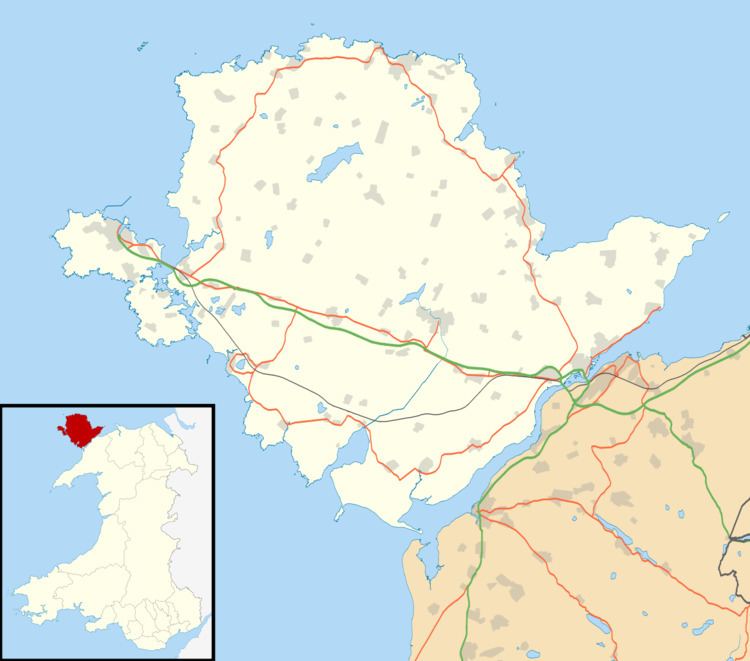
Llanfair-yn-Neubwll is a community and village on the Isle of Anglesey in the north west of Wales. The community includes the villages of Llanfihangel yn Nhowyn and Caergeiliog, and had a population of 1,688, increasing to 1,874 at the 2011 census. The community is heavily connected to the nearby Royal Air Force airfield, RAF Valley, established on Tywyn Trewan during the Second World War, and still in use. Due to the airfield, Llanfair-yn-Neubwll is one of the most anglicised of the communities on Anglesey.
Contents
Map of Llanfair-yn-neubwll, Holyhead, UK
Llanfair-yn-Neubwll lies on the western coast of Anglesey, looking out towards Holy Island. Notable geographic features of the area include the offshore rocks of Ynys Feirig and the eight lakes known as Ardal y Llynnoedd ("Lake District"). Many of the lakes are included in the Valley Wetlands RSPB reserve.
Governance
An electoral ward of the same name exists. This ward includes the community of Bodedern with a total population taken at the 2011 election of 2925.