
Population 851 (2011) Community Llanddowror Country Wales Local time Thursday 10:51 AM | OS grid reference SN254144 Sovereign state United Kingdom Dialling code 01994 | |
 | ||
Weather 8°C, Wind NE at 29 km/h, 77% Humidity UK parliament constituency Carmarthen West and South Pembrokeshire | ||
Rdp sir g r innovative communities llanddowror community space
Llanddowror (Welsh: Maes-y-lan) is a community and also a small, historic, relatively unspoilt village two miles from the town of St. Clears in Carmarthenshire in West Wales.
Contents
- Rdp sir g r innovative communities llanddowror community space
- Map of Llanddowror Carmarthen UK
- Llanddowror by pass 72 making the road
- History Amenities
- Imperial Legacy
- References
Map of Llanddowror, Carmarthen, UK
The community lies on the northern shore of Carmarthen Bay. It is bordered by the communities of: Pendine; Eglwyscummin; St Clears; and Laugharne Township, all being in Carmarthenshire.
Llanddowror by pass 72 making the road
History & Amenities
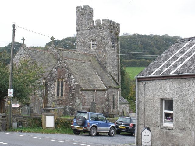
The village is reachable via the scenic A477 road. The village was famously the home of Griffith Jones, the 18th century Christian educator who was funded by Bridget Bevan. Among the local attractions are the ruins of St Clears castle. Some rental cottages are available in Llanddowror, as are some Bed & Breakfast rooms.
Imperial Legacy
Improbably, Llanddowror has lent its name to the British Raj-era hill station of Landour in the Lower Western Himalaya in northern India. Landour was founded in 1827 as a convalescent station for British soldiers serving in India. Indeed, the rank-and-file soldiery of the British Indian Army was largely Celtic and Welsh; the officer corps was largely English. During British colonial rule, nostalgic British names were common in India; many of these names (e.g. Landour) survive today though many others were discarded once India became an independent state.