
Canton Craon Area 30.08 km² | Population (2006) 790 Elevation 100 m | |
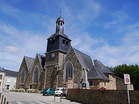 | ||
Livré-la-Touche is a commune in the Mayenne department in north-western France. Prior to October 6, 2008, it was known as Livré.
Contents
Map of 53400 Livr%C3%A9-la-Touche, France
Geography
The Oudon River forms most of the commune's eastern border.
References
Livré-la-Touche Wikipedia(Text) CC BY-SA