
Time zone EET (UTC+2) Elevation 540 m | Area 114.4 km² Local time Wednesday 11:17 PM | |
 | ||
Weather 7°C, Wind NE at 13 km/h, 90% Humidity | ||
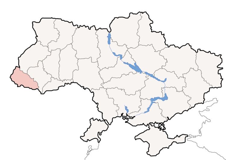
Liuta, also Ljuta (Ukrainian and Rusyn: Люта; Hungarian: Havasköz) is a small village located in the Velykyi Bereznyi Raion of Zakarpattia Oblast of Ukraine.
Map of Lyuta, Zakarpatska, Ukraine
Lyuta lies at the foot of the Carpathian Mountains, about 25 miles (40 km) northeast of Uzhhorod and 362 miles (583 km) West-SouthWest of Kiev. It is on the bank of the Lyutanka River. The name of the village means snowyside/snowycorner because of the cold winters in the area. Its history dates back to 1599. The estimated population is under 4000 people.
References
Liuta Wikipedia(Text) CC BY-SA