
- elevation 3,028 ft (923 m) - elevation 1,654 ft (504 m) | - elevation 4,680 ft (1,426 m) Basin area 966.1 km² | |
 | ||
Source Great Smoky Mountains National Park Similar Great Smoky Mountains, Great Smoky Mountain, Roaring Fork, Mount Le Conte, Ober Gatlinburg | ||
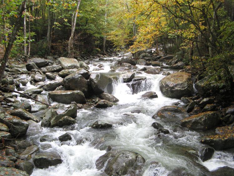
The Little Pigeon River is a river located entirely within Sevier County, Tennessee. It rises from a series of streams which flow together on the dividing ridge between the states of Tennessee and North Carolina inside the boundary of the Great Smoky Mountains National Park. The river is subdivided with three separate tributaries: East, Middle, and West.
Map of West Prong Little Pigeon River, Tennessee, USA
The East and Middle prongs are less notable divisions of the river, with the East Prong paralleled for most of its length by State Route 416, and the Middle Prong emerging from the Greenbrier area of the Great Smoky Mountains National Park. The West Prong is far better known because it drains the major tourist towns of Gatlinburg and Pigeon Forge. The confluence of the two forks is at Sevierville. From there the stream continues to flow northward, paralleled by State Route 66, until its confluence with the French Broad River just downstream from Douglas Dam.
Despite its name, it is not a tributary of the nearby Pigeon River, which flows into the French Broad well above Douglas Dam and the resultant reservoir.