
Population 486 (2011 census) Civil parish Little Milton Area 5.45 km² | OS grid reference SP6100 Dialling code 01844 | |
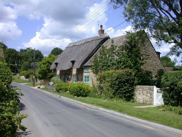 | ||
Little Milton is a village and civil parish in Oxfordshire, about 6 miles (10 km) southwest of Thame and 7 miles (11 km) southeast of Oxford.
Map of Little Milton, Oxford, UK
The parish is bounded to the west by the River Thame, to the south by Haseley Brook (a tributary of the Thame), to the north by field boundaries and to the east by an old track between Great Milton and Rofford that is now a bridleway.
Little Milton village is on raised ground above the River Thame floodplain, about 250 feet (76 m) above sea level. The A329 road between Thame and Shillingford via Stadhampton passes through the village.
In the centre of the village is the Grade II listed Milton Manor, parts of which date back to the 15th century.
The Church of England parish church of Saint James is a Gothic Revival building designed by John Hayward and built in 1844. Hayward also designed the west tower, which was added in 1861.