
Country United States County Cumberland Time zone Eastern (EST) (UTC-5) Population 708 (2010) | Elevation 43 m Area code 207 | |
 | ||
Area 3.108 km² (3.108 km² Land / 26 ha Water) | ||
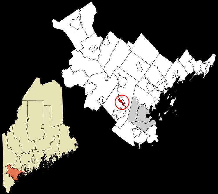
Little Falls is a census-designated place (CDP) in the town of Gorham in Cumberland County, Maine, United States. The population of the CDP was 708 at the 2010 census. Prior to 2010, Little Falls was part of the Little Falls-South Windham census-designated place.
Contents
Map of Little Falls, Gorham, ME, USA
It is part of the Portland–South Portland–Biddeford, Maine Metropolitan Statistical Area.
Geography
Little Falls is located at 43°43′53″N 70°25′32″W, along the Presumpscot River. According to the United States Census Bureau, the CDP has a total area of 1.2 square miles (3.2 km2), of which 1.2 square miles (3.0 km2) is land and 0.12 square miles (0.3 km2), or 7.87%, is water.
The CDP of South Windham is located directly across the Presumpscot River, in the town of Windham. U.S. Route 202 and Maine State Route 4 run north-south in a concurrency through both communities.