
Elevation 756 m | Topo map USGS Chestnut Mountain Mountain range Blue Ridge Mountains | |
 | ||
Similar Chestnut Mountain, Adams Mountain, Bee Mountain, Grandmother Mountain, Table Rock | ||
Max at little chestnut mountain
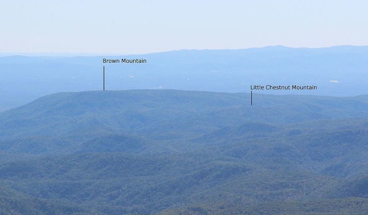
Chestnut Mountain is a mountain in the North Carolina High Country, United States, and wholly in the Pisgah National Forest. Its elevation reaches 2,480 feet (756 m) and is split between Burke County and Caldwell counties. The mountain generates feeder streams for the Catawba River.
Contents
Map of Little Chestnut Mountain, Wilson Creek, NC 28611, USA
References
Little Chestnut Mountain Wikipedia(Text) CC BY-SA