
OS grid reference SP7887 Sovereign state United Kingdom Dialling code 01858 | Civil parish unparished District Harborough | |
 | ||
Little bowden recreation ground market harborough
Little Bowden is an area on the edge of Market Harborough, Leicestershire, England. As a village it was formerly part of Northamptonshire. The River Jordan runs through part of the area. Now, it's been integrated into Market Harborough and is fully part of the town using the town's address of 'Market Harborough'. The population is included in the civil parish of Stoke Albany.
Contents
- Little bowden recreation ground market harborough
- Map of Little Bowden Market Harborough UK
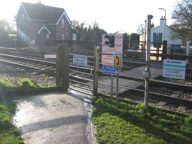
- Silly sign at little bowden
- Amenities
- Windy Ridge
- References
Map of Little Bowden, Market Harborough, UK
Silly sign at little bowden
Amenities
Windy Ridge
Windy Ridge is a hill near Little Bowden. The area was often used for walks by local people. There were several attempts to build on Windy Ridge, all of which had been opposed by residents concerned by the effect development may have on the skyline and hazardous effects of battery landfill. However, the most recent proposal to build on this land was accepted by the council and is now completed.
The new estate built upon Windy Ridge is called Rockingham View