
Prominence 207 m | Topo map USGS Wilson Valley Mountain range Pacific Coast Ranges | |
 | ||
Elevation 3123+ ft (952+ m) NAVD 88 Similar Mount Stakes, Discovery Peak, Mount Bielawski, Rose Peak, Mount Allison | ||
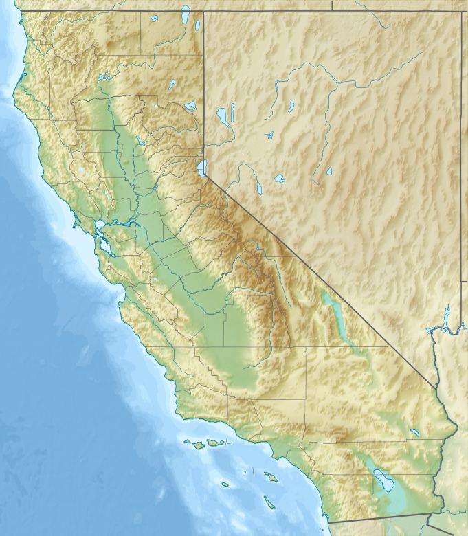
Little Blue Peak is highest point on Little Blue Ridge in the Northern Coast Ranges, located on the boundary of Yolo and Lake counties in northern California.
Contents
Map of Little Blue Peak, California 95423, USA
It is within Berryessa Snow Mountain National Monument. Some snow falls on this peak during the winter.
HistoryEdit
Despite its relatively low elevation, the officially unnamed summit is the highest point in Yolo County. Little Blue Peak didn't always have that distinction, formerly Berryessa Peak 3,057 feet (932 m) was considered to be the Yolo County highpoint. in 1991 John Sarna discovered that this summit is over 80 feet (24 m) higher than Berryessa's, therefore the county's highest.
References
Little Blue Peak Wikipedia(Text) CC BY-SA