
- elevation 380 m (1,247 ft) Source Willard Lake | - elevation 317 m (1,040 ft) | |
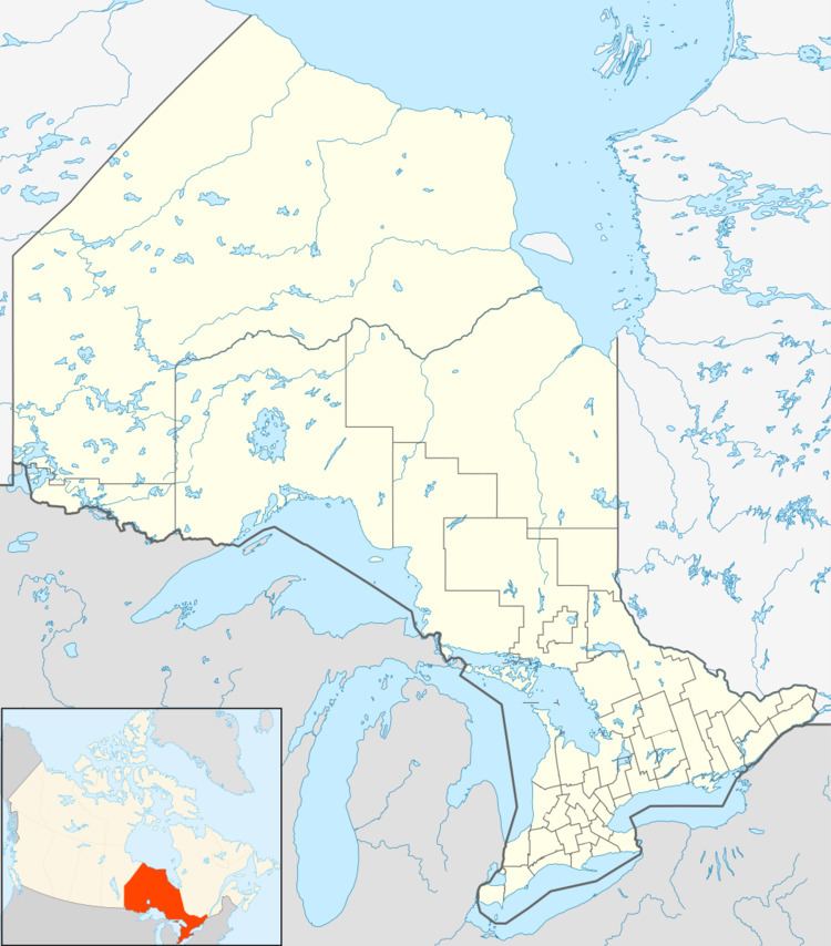 | ||
The Little Black Sturgeon River is a river in the Nelson River drainage basin in Kenora District, northwestern Ontario, Canada. It is a tributary of the Black Sturgeon River.
Course
The river begins at Willard Lake at an elevation of 380 metres (1,247 ft), about 3 kilometres (1.9 mi) northwest of Ontario Highway 17 and the community of Willard Lake. It flows northwest to Beaubien Lake, then south through High Lake and Low Lake, and west to Drewry Lake. It passes under Ontario Highway 671 and reaches its mouth at Black Sturgeon Lakes on the Black Sturgeon River about 15 kilometres (9 mi) east of the city of Kenora.
References
Little Black Sturgeon River Wikipedia(Text) CC BY-SA