
Elevation 403 m Population 494 (2014) | Region Plzeň Postal code 337 01 Area 7.25 km² | |
 | ||
Website litohlavy.rokycansko.cz | ||
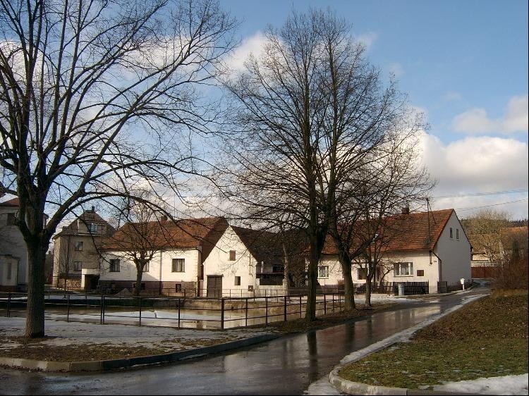
Litohlavy (German: Litochlau, Litohlau) is a village in Western Bohemia, the Czech Republic (Plzeň Region, Rokycany District), 3 km northwest of Rokycany, 403 m. above sea level, on the Osecký potok stream. The stream bisects the settlement into two parts. Southern part of Litohlavy covers lower slopes of Vršíček hill (431 m.) along the road to Rokycany, while older northern section evolved along the roads to Osek and Klabava. Large forested massif of Kokotsko surrounds the village from the west, while the landscape to the east of Litohlavy is largely used for agriculture. The D5 motorway Prague-Plzeň runs south of Litohlavy connecting to local road network at Exit 62 Rokycany. The Vršíček hill to the south of the village has a baroque chapel from the 18th century on its summit.
Contents
Map of 337 01 Litohlavy, Czechia
Demography
As to ethnicity, Litohlavy was traditionally a Czech settlement. The village's population has had a downward trend during the 20th century.
History
Litohlavy was mentioned in 1363. It belonged to the feudal domain of Rokycany from 1498 until 1850. In the 19th century some iron ore mining developed in the territory of Litohlavy, however the village had mostly rural economy. In 1980-1994 the village was under administration of nearby Rokycany.