
Country United States FIPS code 36-42664 Elevation 456 m Local time Thursday 11:53 PM | State New York Time zone Eastern (EST) (UTC-5) GNIS feature ID 0979156 Population 1,513 (2010) | |
 | ||
Weather -7°C, Wind SE at 6 km/h, 55% Humidity Area 76.92 km² (76.66 km² Land / 26 ha Water) | ||
Litchfield is a town in Herkimer County, New York, United States. The population was 1,513 at the 2010 census. The town is named after Litchfield, Connecticut, the source of some early settlers of the city.
Contents
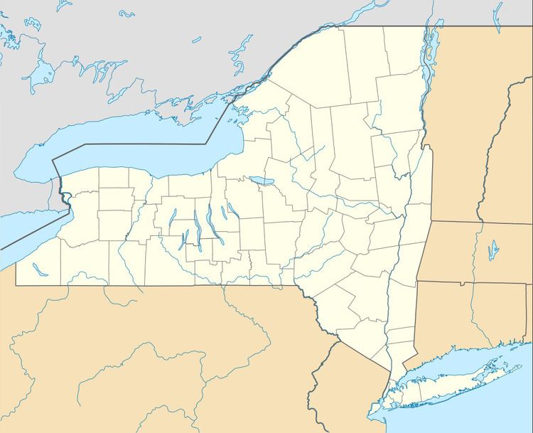
- Map of Litchfield NY 13357 USA
- History
- Geography
- Demographics
- Communities and locations in Litchfield
- References
Map of Litchfield, NY 13357, USA
The Town of Litchfield is in the southwestern part of the county. This town is southeast of Utica.
History
Settlement began around 1786 at Wheelocks Hill.
The Town of Litchfield was established from part of the Town of German Flatts in 1796. Part of the town was used to form the Town of Winfield in 1816.
"Litchfield Prison" in Litchfield is also the fictional setting for the Netflix TV series Orange Is the New Black.
Geography
According to the United States Census Bureau, the town has a total area of 29.7 square miles (77 km2), of which, 29.6 square miles (77 km2) of it is land and 0.1 square miles (0.26 km2) of it (0.17%) is water.
The west town line is the border of Oneida County.
Demographics
As of the census of 2000, there were 1,453 people, 515 households, and 399 families residing in the town. The population density was 49.1 people per square mile (18.9/km²). There were 670 housing units at an average density of 22.6 per square mile (8.7/km²). The racial makeup of the town was 98.62% White, 0.07% African American, 0.55% Native American, 0.21% Asian, 0.07% from other races, and 0.48% from two or more races. Hispanic or Latino of any race were 0.62% of the population.
There were 515 households out of which 39.0% had children under the age of 18 living with them, 67.0% were married couples living together, 5.2% had a female householder with no husband present, and 22.5% were non-families. 17.5% of all households were made up of individuals and 5.8% had someone living alone who was 65 years of age or older. The average household size was 2.82 and the average family size was 3.18.
In the town, the population was spread out with 29.3% under the age of 18, 5.8% from 18 to 24, 29.4% from 25 to 44, 24.8% from 45 to 64, and 10.7% who were 65 years of age or older. The median age was 37 years. For every 100 females there were 104.1 males. For every 100 females age 18 and over, there were 107.1 males.
The median income for a household in the town was $42,404, and the median income for a family was $48,750. Males had a median income of $30,163 versus $23,587 for females. The per capita income for the town was $16,431. About 5.3% of families and 9.7% of the population were below the poverty line, including 17.3% of those under age 18 and 6.9% of those age 65 or over.