
Country China Elevation 3,954 m (12,972 ft) Website litang.gov.cn Local time Friday 11:45 AM Province Sichuan | County seat Litang Town Time zone China Standard (UTC+8) Area 13,677 km² Population 47,500 (2001) | |
 | ||
Autonomous prefecture Garzê Tibetan Autonomous Prefecture Weather 6°C, Wind SW at 16 km/h, 43% Humidity Points of interest Changqingchun Ke'ersi, Haizishan Nature Reserve, Baita Park, Zhaga Shenshan Scenic Ar | ||
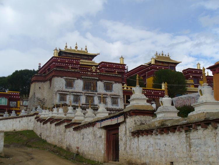
Litang sichuan china
Litang or Lithang County (Wylie: ལི་ཐང་རྫོང; Chinese: 理塘县) is in southwest of Garzê Tibetan Autonomous Prefecture, Sichuan, China. In 2001 it had a population of 47,500.
Contents
- Litang sichuan china
- Map of Litang Garze Sichuan China
- Modern history
- Administrative divisions
- Climate
- Transport
- References
Map of Litang, Garze, Sichuan, China
Before the Battle of Chamdo, Lithang was part of Kham, Tibet, and several famous Buddhist figures were born here, including the 7th Dalai Lama, the 10th Dalai Lama, the 11th Tai Situpa, four of the Pabalas, as well as the 5th Jamyang Zhépa of Labrang Monastery. Düsum Khyenpa, 1st Karmapa Lama, returned here and built two monasteries, Kampo Nénang Monastery next to the Genyen Massif, where he trained the important Kagyu teacher, Drogön Rechen (Wylie: 'gro mgon res pa chen po, 1148-1218) who recognised his tulku, and the Pangphuk Monastery, founded in 1169.
It also has strong connections with the eponymous hero of the Epic of King Gesar,
Modern history
During the 1950s, the region around Litang was one of the main areas of Tibetan armed resistance to the presence of the People's Liberation Army. A resistance group called the Chushi Gangdruk was active in the area. In 1956 the monastery in Litang was bombed by the PLA.
Litang Town (the seat of the county) itself is located at an altitude of 4,014 metres. It is on open grassland and surrounded by snow-capped mountains and is about 400 meters higher than Lhasa, making it one of the highest towns in the world.
In August, 2007, a horse-racing festival at Litang was the scene of an impromptu anti-government political speech by Runggye Adak, which was followed by protests calling for his release. A crackdown officially described as "patriotic education campaign" followed in autumn of 2007, including several politically motivated arrests and attempts to force local Tibetans to denounce the 14th Dalai Lama.
Administrative divisions
Litang County administers one town and 23 more rural townships:
Climate
With an elevation of nearly 4,000 metres (13,000 ft), Litang has an alpine subarctic climate (Köppen Dwc), with long, cold, dry winters, and short, cool summers with very frequent rain. The monthly 24-hour average temperature ranges from −5.8 °C (21.6 °F) in January to only 10.6 °C (51.1 °F) in July; the annual mean is 3.25 °C (37.8 °F). Over 80% of the 722 mm (28.4 in) of annual precipitation is delivered from June to September. With monthly percent possible sunshine ranging from 38% in July to 83% in December, the county seat receives 2,643 hours of bright sunshine annually, with winter by far the sunniest season.