
Time zone CET/CEST (UTC+1/+2) Area 6.55 km² Population 341 (31 Dec 2008) | Elevation 69 m (226 ft) Postal codes 06918 Local time Friday 2:02 AM Postal code 06918 Dialling code 035383 | |
 | ||
Weather 4°C, Wind N at 8 km/h, 93% Humidity | ||
Listerfehrda is a village and a former municipality in Wittenberg district in Saxony-Anhalt, Germany. Since 1 January 2011, it is part of the town Zahna-Elster. The municipality belonged to the administrative municipality (Verwaltungsgemeinschaft) of Elbaue-Fläming.
Contents
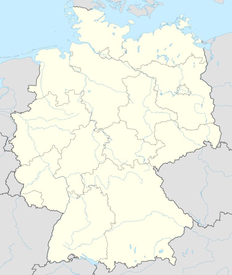
Map of Listerfehrda, Zahna-Elster, Germany
Geography
Listerfehrda lies about 17 km southeast of Lutherstadt Wittenberg on the Elbe.
Economy and transportation
Federal Highway (Bundesstraße) B 187 between Wittenberg and Jessen runs right through the community.
References
Listerfehrda Wikipedia(Text) CC BY-SA