
 | ||
This is a list of waterways that form the Atlantic Intracoastal Waterway, sometimes called the Intracoastal Canal, and crossings (bridges, tunnels and ferries) of it.
Contents
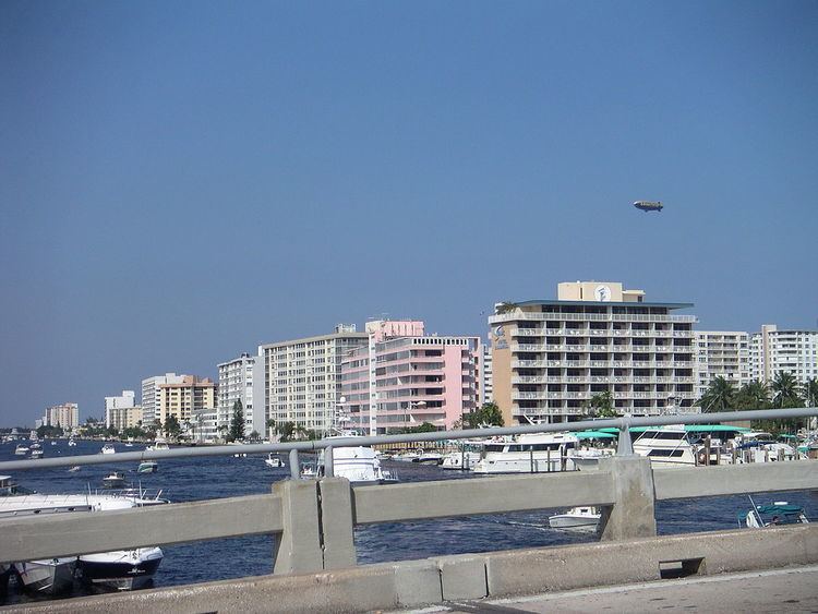
Florida
Georgia
South Carolina
In South Carolina, the waterway is made of numerous natural and manmade waterways that wind among the sea islands. The Pine Island cut is the longest manmade section of the entire waterway. It was the last section of the waterway to be completed and was dedicated on April 11, 1936.
North Carolina
Virginia
Maryland
Delaware
New Jersey
New York
Connecticut
Rhode Island
Massachusetts
New Hampshire
Maine
References
List of waterways forming and crossings of the Atlantic Intracoastal Waterway Wikipedia(Text) CC BY-SA