Samiksha Jaiswal (Editor)

List of numbered roads in York Region

Updated on
Edit
Like
Comment
Share on FacebookTweet on TwitterShare on LinkedInShare on Reddit
List of numbered roads in York Region

York Region, located in southcentral Ontario, Canada, assigned approximately 50 regional roads, each with a number ranging from 1 to 99. All expenses of York Regional Roads (for example, snow shovelling, road repairs, traffic lights) are funded by the York Region government. Several new roads were assumed by the region in 2012, including King–Vaughan Town Line and Kirby Sideroad.

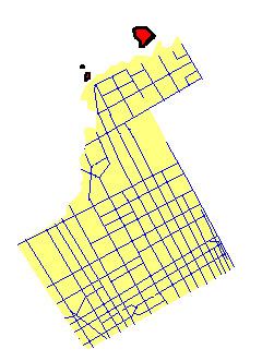
Boundaries of York Region

  • Steeles Avenue marks the York Region/City of Toronto Boundary
  • York-Durham Regional Road 30 (York-Durham Line) and York Regional Road 32 (Ravenshoe Road) mark the York Region/Durham Region boundary
  • York Regional Road 24 (or Peel Regional Road 50) marks the York Region/Peel Region boundary
  • Highway 9 and Holland River form the York Region/Simcoe County boundary
  • References

    List of numbered roads in York Region Wikipedia


    Similar Topics