
 | ||
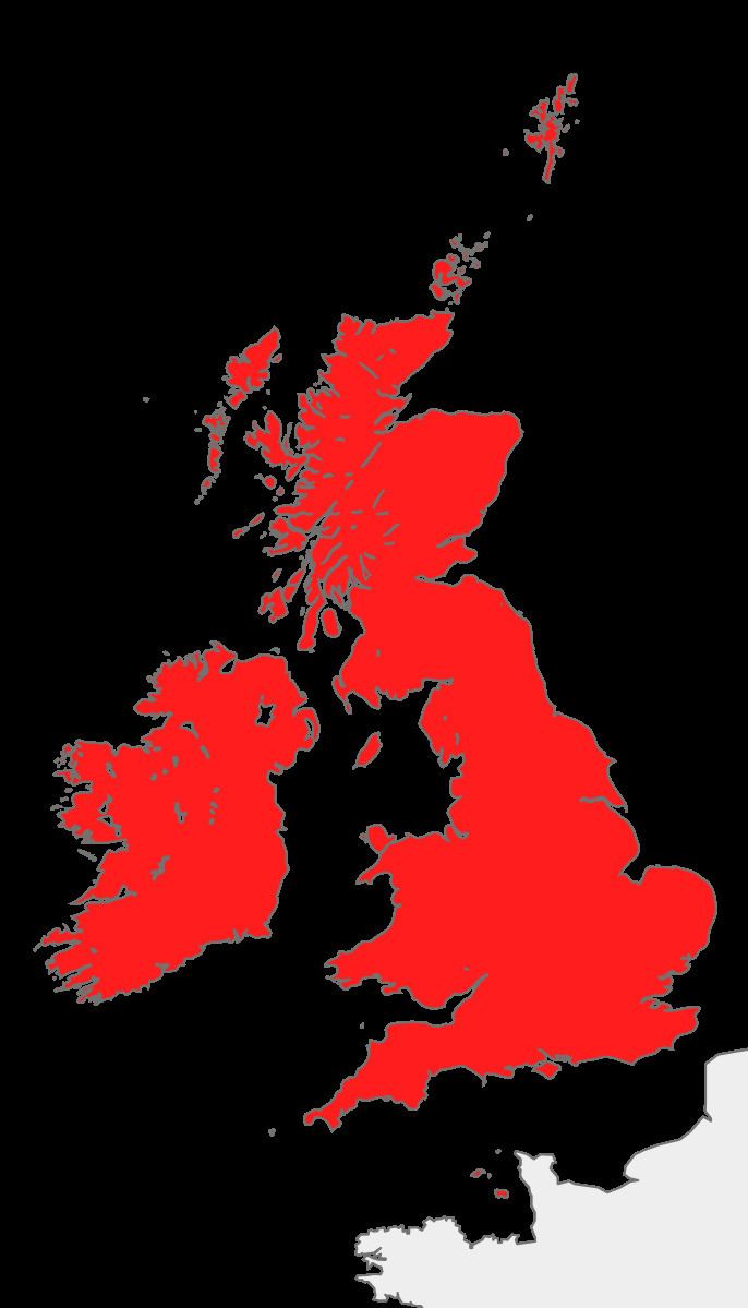
This page is a list of the larger islands that form the British Isles, listing area and population data. The total area of the islands is 315,159 km². Great Britain accounts for the majority this area at 66%, with Ireland accounting for 26%, leaving the remaining 8%—an area of 24,190 km²—comprising thousands of smaller islands. The largest of the other islands are to be found in the Hebrides and Northern Isles to the north, and Anglesey and the Isle of Man between Great Britain and Ireland. Also included are the Channel Islands, not strictly part of the British Isles archipelago as they are positioned off the French coast of Normandy, but traditionally included because of their political connection with the United Kingdom. This inclusion, in part, has resulted in the British Isles naming dispute.
Map of British Isles
There are 194 permanently inhabited islands in total:
The Bailiwick of Guernsey, the Bailiwick of Jersey and the Isle of Man are Crown dependencies.