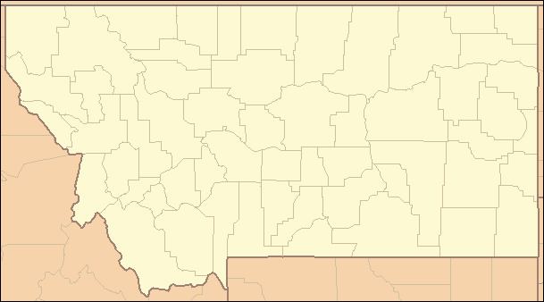
Location State of Montana Government County government | Number 56 | |
 | ||
Populations 485 (Petroleum) – 155,634 (Yellowstone) Areas 718 square miles (1,860 km) (Silver Bow) – 5,543 square miles (14,360 km) (Beaverhead) Subdivisions cities, towns, townships, unincorporated communities, Indian reservations, census designated place | ||
This is a list of the 56 counties in the U.S. state of Montana. Montana has two consolidated city-counties—Anaconda with Deer Lodge County and Butte with Silver Bow County. The portion of Yellowstone National Park that lies within Montana was not part of any county until 1978, when part of it was nominally added to Gallatin County, and the rest of it to Park County. Eight counties of the state are composed of two or more words.
Contents
Montana's postal abbreviation is MT and its FIPS state code is 30.
Counties
The Federal Information Processing Standard (FIPS) code, which is used by the United States government to uniquely identify counties, is provided for each county. The FIPS code for each county links to census data for that county.
Defunct County
References
List of counties in Montana Wikipedia(Text) CC BY-SA
