
Category Federal Unit Number 15 | Location State of Arizona Government County government | |
 | ||
Populations 7,754 (Greenlee) – 3,990,181 (Maricopa) Areas 1,238 square miles (3,210 km) (Santa Cruz) – 18,661 square miles (48,330 km) (Coconino) | ||
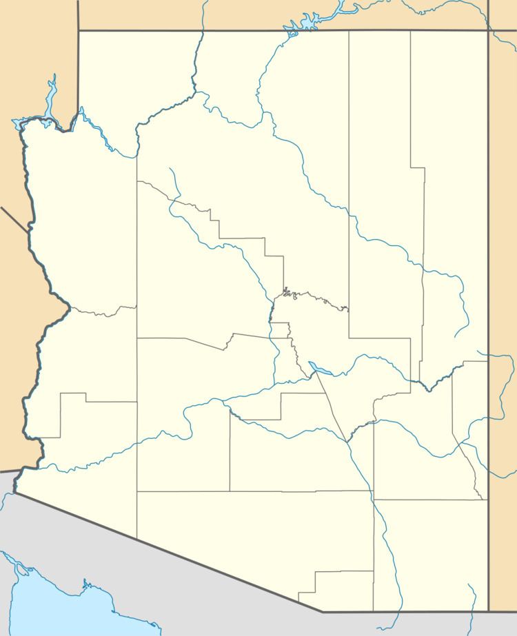
There are 15 counties in the U.S. state of Arizona. Four counties (Mohave, Pima, Yavapai and Yuma) were created in 1864 following the organization of the Arizona Territory in 1862. The now defunct Pah-Ute County was split from Mohave County in 1865, but merged back in 1871. All but La Paz County were created by the time Arizona was granted statehood in 1912.
Contents
The names of many of the counties pay tribute to the state's Native American heritage. Nine of the fifteen counties are named after various native groups that are resident in parts of what is now Arizona. Three of the other counties have Spanish names from the language of the early Hispanic explorers of Arizona: La Paz County, Santa Cruz County, and Pinal County. Another county, Graham County, is named for a physical feature, Mount Graham, with the final county, Greenlee County, being named after one of the state's early pioneers.
Arizona's postal abbreviation is AZ and its FIPS code is 04.