
 | ||
Kansas is a state located in the Midwestern United States. According to the 2010 United States Census, Kansas is the 34th most populous state with 7006285313200000000♠2,853,132 inhabitants and the 13th largest by land area spanning 81,758.72 square miles (211,754.1 km2) of land. Kansas is divided into 105 counties and contains 627 incorporated municipalities consisting of cities.
Contents
- Map of Kansas USA
- City requirements
- Highest population listing
- Military installations
- Q
- U
- X
- Y
- Z
- Fictional cities
- References
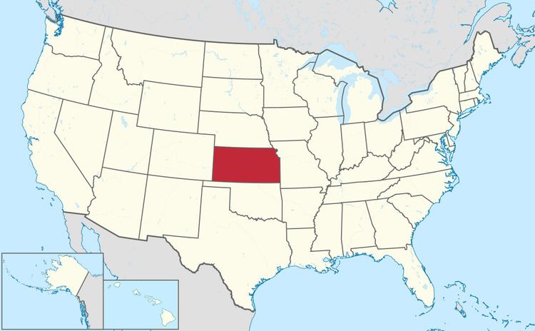
Map of Kansas, USA
City requirements
All incorporated communities in Kansas are called cities, unlike in some states where some are called towns or villages. (11 of 50 states only have cities.)
Once a city is incorporated in Kansas, it will continue to be a city even after falling below the minimum required to become a city, and even if the minimum is later raised. A city can de-incorporate, but if citizens decide to re-incorporate at a later date, then new minimum requirements must be met.
By State law, cities in Kansas are divided into three classes.
Highest population listing
Population data based on 2010 census and 2013 estimate with over 5,000 people. The city of Topeka, in addition to being the county seat for Shawnee County, is the state capital.
Military installations
See Kansas forts and posts for a historical listAs a supplement to the list of cities, the following military installations are provided because of their relative size in active duty and/or service members living on the post and their location within the borders of the state of Kansas. The table values for "Population in Quarters" includes reported totals of active duty, family, civilians, reservists, and retired personnel living on the installation.
As of 2016, over 85,000 people live on military installations in Kansas--including over 25,000 active duty personnel. Although not considered "cities" these military installations certainly should be considered as population centers of note.