
Country United States County DuPage Time zone CST (UTC-6) Area 93.16 km² Population 116,268 (2010) | State Illinois Settled November 6, 1849 Elevation 220 m Local time Saturday 2:51 PM | |
 | ||
ZIP codes 60440, 60515, 60516, 60517, 60532, 60540, 60563, 60565 Weather 7°C, Wind NW at 19 km/h, 60% Humidity | ||
Lisle Township is one of nine townships in DuPage County, Illinois, USA. As of the 2010 census, its population was 116,268 and it contained 47,174 housing units.
Contents
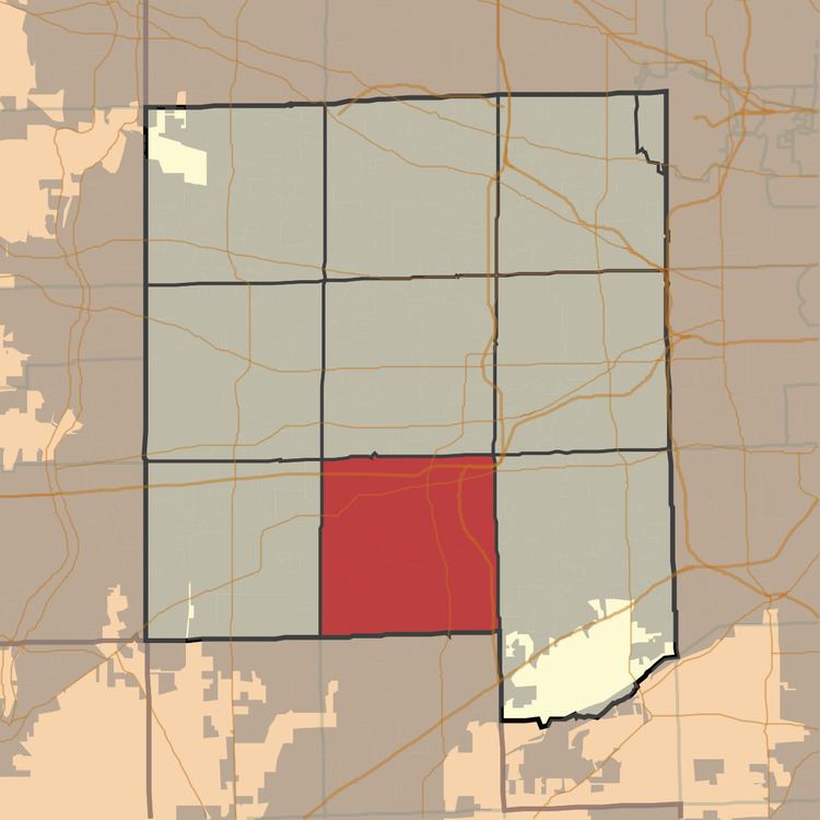
- Map of Lisle Township IL USA
- Geography
- Cities towns villages
- Unincorporated towns
- Cemeteries
- Major highways
- Airports and landing strips
- Landmarks
- School districts
- Political districts
- References
Map of Lisle Township, IL, USA
Geography
According to the 2010 census, the township has a total area of 35.97 square miles (93.2 km2), of which 35.36 square miles (91.6 km2) (or 98.30%) is land and 0.61 square miles (1.6 km2) (or 1.70%) is water.
Cities, towns, villages
Unincorporated towns
(This list is based on USGS data and may include former settlements.)
Cemeteries
The township contains these five cemeteries: Blodgett, Illinois Benedictine College, Oak Crest, Saint Bernards and Saints Peter and Paul.
Major highways
Airports and landing strips
Landmarks
School districts
Political districts
References
Lisle Township, DuPage County, Illinois Wikipedia(Text) CC BY-SA