
Population 5,283 (2006 census) Postal code 2250 | Postcode(s) 2250 Area 12.2 km² | |
 | ||
Location 8 km (5 mi) NNE of Gosford | ||
Lisarow is a suburb of the Central Coast region of New South Wales, Australia, located 8 kilometres (5 mi) north-northeast of Gosford's central business district via the Pacific Highway. It is part of the Central Coast Council local government area, and lies along its northern boundary.
Map of Lisarow NSW 2250, Australia
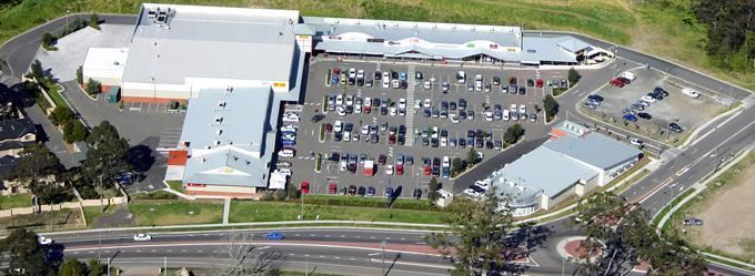
The area was largely rural until urban encroachment in more recent decades. It is now a mainly residential area, composed of medium-density housing, with small rural properties on the fringes. There is also a substantial amount of industrial activity around the railway line and station.
Educational facilities in the suburb include Lisarow High School, Lisarow Primary School and Narara Public School.
The Test cricketer, Alan Davidson, hails from the town. Lisarow shares the largest cricket club on the Central Coast with Ourimbah, their club mascot is the magpie.