
Population 257 (2011) | Postcode(s) 4356 Postal code 4356 | |
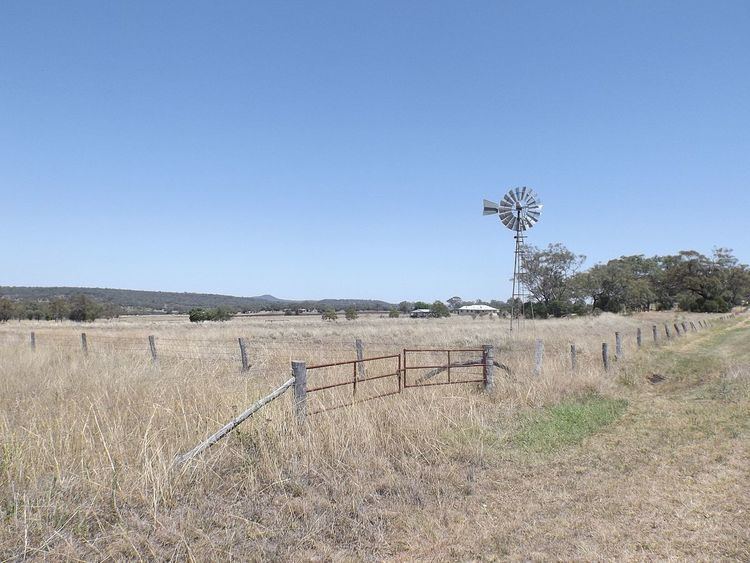 | ||
Linthorpe is a locality in the Toowoomba Region of the Darling Downs in southern Queensland, Australia. At the 2011 Australian Census Linthorpe and surrounds recorded a population of 257.
Map of Linthorpe QLD 4356, Australia
Mount Haystack, Majuba Hill and Dummies Mountain are all located in Linthorpe. The Gore Highway marks the southern boundary of Linthorpe.
References
Linthorpe, Queensland Wikipedia(Text) CC BY-SA