
Country United States ZIP code 97490 Elevation 93 m | Time zone Pacific (PST) (UTC-8) Area code(s) 458 and 541 Local time Saturday 4:30 AM | |
 | ||
Weather 12°C, Wind S at 18 km/h, 85% Humidity | ||
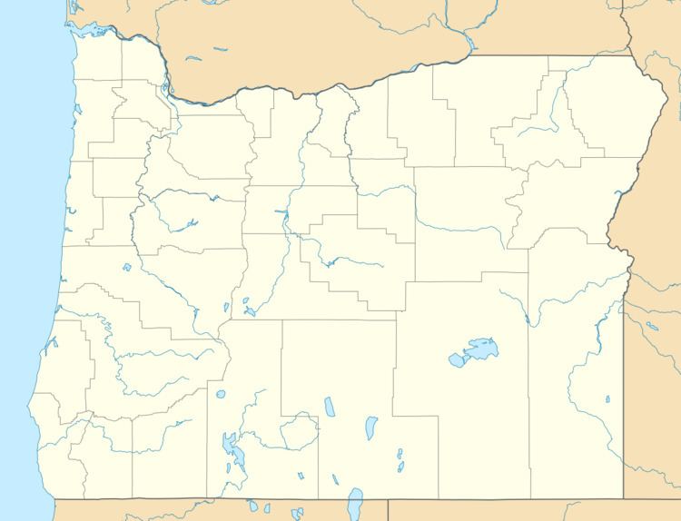
Linslaw is an unincorporated community in Lane County, Oregon, United States. It is located about eight miles west of Walton on Oregon Route 126 next to the Siuslaw River.
Map of Linslaw, OR 97490, USA
In 1917, when a petition was sent to the United States Post Office Department for a post office at this locale, it was approved with the name "Linslaw". Locals could not explain the source of the name, but the author of Oregon Geographic Names has a theory that the name was supposed to be "Siuslaw", and the handwriting on the petition was unclear and misread as "Linslaw". Linslaw post office was closed in 1957. The Coos Bay Line of the Southern Pacific Railroad had a station here. Today this line is owned by the Central Oregon and Pacific Railroad.
References
Linslaw, Oregon Wikipedia(Text) CC BY-SA