
Area 100 ha | Length 1.207 km | |
 | ||
Similar Linlithgow Palace, St Michael's Parish Ch, Beecraigs, Annet House Museum, Linlithgow Burgh Halls | ||
Linlithgow
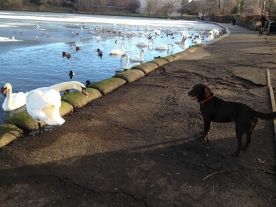
Linlithgow Loch lies immediately north of the town of Linlithgow in West Lothian, Scotland. 1.3 kilometres in length and 0.4 in breadth, its area of 41 hectares makes it the largest natural freshwater loch in Lothian. It is, however, shallow, with a mean depth of 2.3 metres and a maximum depth of 9.2 metres. The loch is fed by four small streams, the Hatchery Burn, the Bonnytoun Burn, the Springfield Burn, and Bell's Burn, and drained by the Mill Burn on its western side, which eventually joins the Avon.
Contents
Map of Linlithgow Loch, Linlithgow, UK
The loch is the source of the town of Linlithgow's name; the British llyn laith cau translates to "lake in the damp hollow". Two islets in the loch, Cormorant Island and the Rickle, are thought to be the 5,000 year old remains of crannogs.
Fishing and boating
Linlithgow Loch was once famed for its brown trout, but most of the sport today comes from stocked rainbow trout, regularly released by the Forth Area Federation of Anglers.
The Low Port Centre, run by West Lothian Council, provides facilities for sailing, canoeing, kayaking, and windsurfing.
Conservation
Urban and agricultural runoff make eutrophication a concern. Algal blooms have affected the loch's value for wildlife and recreation.
Linlithgow Loch is a Site of Special Scientific Interest due to it being an example of a lowland eutrophic loch and supporting representative examples of aquatic and emergent plant communities.