
- elevation 4,149 ft (1,265 m) - elevation 4,091 ft (1,247 m) - min 17 cu ft/s (0 m/s) Basin area 9,868 km² Basin area 9,868 km² | - average 1,276 cu ft/s (36 m/s) Length 2 km Discharge 36.13 m³/s | |
 | ||
- max 9,400 cu ft/s (266 m/s) | ||
Bodyboarding link river klamath falls or
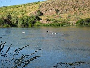
The Link River is a short river connecting Upper Klamath Lake to Lake Ewauna in the city of Klamath Falls in the U.S. state of Oregon. Draining a basin of 3,810 square miles (9,900 km2), the river begins at the southern end of Klamath Lake and flows a short distance to the Link River Dam and continues 1.5 miles (2.4 km) to the head of Lake Ewauna. The "falls" from which Klamath Falls derives its name, and which in reality are best described as rapids rather than falls, are visible a short distance below the dam, though the water flow is generally insufficient to provide water flow over the rocks. The Klamath River begins at the narrow southern end of Lake Ewauna and flows 253 miles (407 km) from there to the Pacific Ocean.
Contents
- Bodyboarding link river klamath falls or
- Map of Link River Klamath Falls OR USA
- Works citedEdit
- References
Map of Link River, Klamath Falls, OR, USA
Before settlers came to the Klamath Basin, the Link River was known to the local Klamaths as Yulalona, meaning "back and forth." At times, strong winds blew the water upstream into Klamath Lake and partly drained the riverbed.
After its founding in 1867, Klamath Falls was originally named Linkville. The name was changed to Klamath Falls in 1892–93.