
Local time Saturday 9:36 AM | Time zone GMT (UTC+0) Population 13,610 (2007) | |
 | ||
Weather 22°C, Wind NE at 14 km/h, 58% Humidity | ||
Linguère is a town located in the Linguère Department, Louga Region of Senegal.
Contents
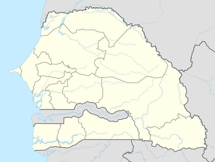
Map of Linguere, Senegal
Transport
The town lies on the N3 road connecting it to Dakar and Touba to the west and Ouro Sogui and Mauretania to the east.
The town was formally the terminus of a branch railway. The train station is now in ruins and the tracks are non-existent as they have been ripped up and used by locals as part of fences.
Infrastructure
The town has roughly 15,000 inhabitants, and is served by a weekly market that takes place on Fridays. There are usually one or two US Peace Corps volunteers stationed in the town, and surrounding villages. There is a post office, a bank, a small daily vegetable market, a bar, a sometimes running internet cafe, and several stores. There is also a 'Gare Routiere', a public transit hub connecting the town to other cities in the east: Louga, Dahra, Touba, and Dakar. The village of Nguith nearby is a traditional Wolof village (4 km to the west), with a deep-bore well, schools, health post, and functioning village government. The village is run by two families, the Coundouls, and Talls.
In 2007, according to official estimates, Linguère had a population of 13,610.