
Norse name lyngey OS grid reference HU354639 Highest elevation 69 metres (226 ft) Area 70 ha Lieutenancy area Shetland | Meaning of name "heather island" Area rank 171= Sovereign state United Kingdom Council area Shetland Island groups British Isles, Shetland | |
 | ||
Linga is a small, uninhabited island, 1 km east of Muckle Roe in the Shetland Islands. The island is roughly circular in shape and its highest elevation is 69 metres (226 ft). Its area is 70 hectares (0.27 sq mi).
Contents
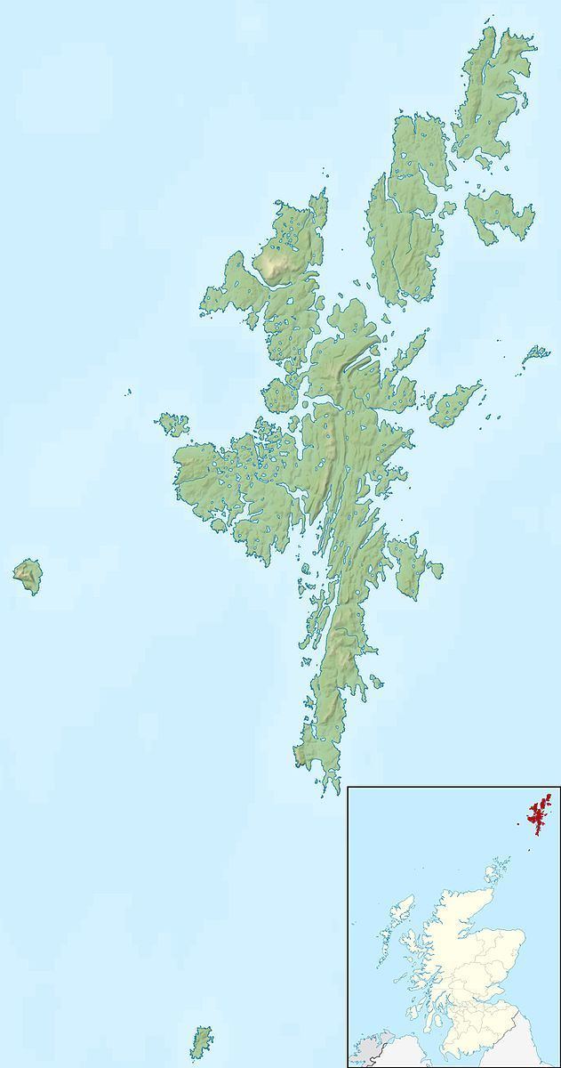
Map of Linga, United Kingdom
Geography and geology
Linga is almost completely round, with a central peak. It lies between the mouths of Olna Firth and Gon Firth on the west coast of the Shetland Mainland. To the north is Delting on the Mainland, and the Mainland is also to the south and east. Papa Little is to the south west, and Mavis Grind to the north.
There is a submerged rock, known as Groin Baa to the north.
The island is composed of gneiss and schist, with some quartzite and pelite while its landscape is one of rough grass and heather.
References
Linga, Muckle Roe Wikipedia(Text) CC BY-SA