
Country United States Time zone CST (UTC-6) Elevation 182 m Local time Friday 11:50 PM | Established November 4, 1884 ZIP codes 62016, 62044, 62081 Area 89.6 km² Population 345 (2010) | |
 | ||
Weather 10°C, Wind NW at 16 km/h, 54% Humidity | ||
Linder Township is one of thirteen townships in Greene County, Illinois, USA. As of the 2010 census, its population was 345 and it contained 135 housing units.
Contents
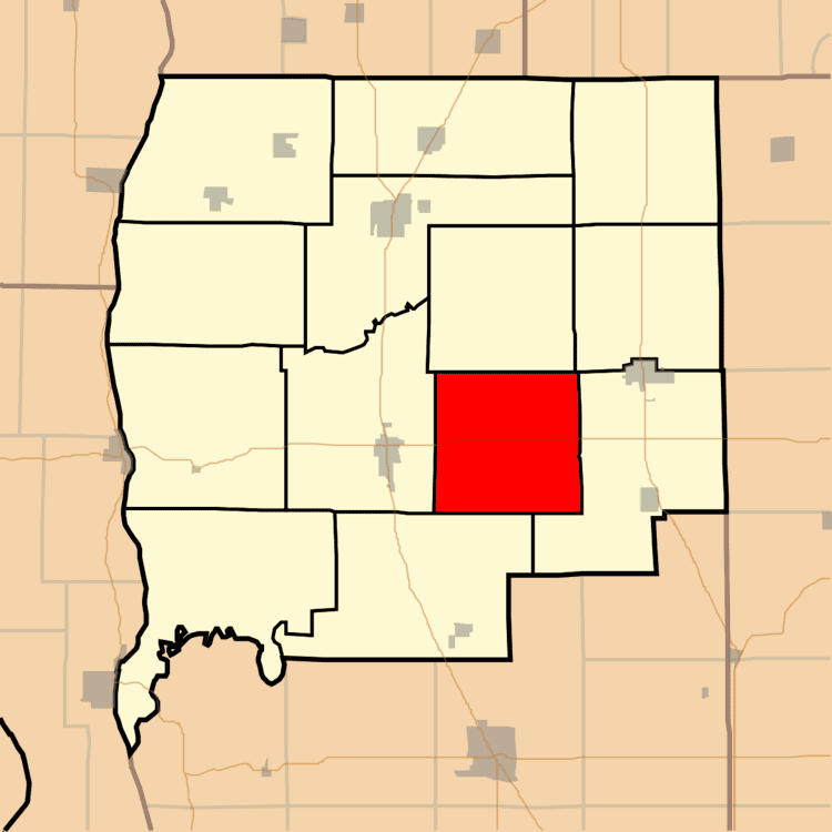
- Map of Linder Township IL USA
- Geography
- Unincorporated towns
- Cemeteries
- Major highways
- School districts
- Political districts
- References
Map of Linder Township, IL, USA
Geography
According to the 2010 census, the township has a total area of 34.6 square miles (90 km2), of which 34.58 square miles (89.6 km2) (or 99.94%) is land and 0.02 square miles (0.052 km2) (or 0.06%) is water.
Unincorporated towns
(This list is based on USGS data and may include former settlements.)
Cemeteries
The township contains these two cemeteries: Hardcastle and Hardin.
Major highways
School districts
Political districts
References
Linder Township, Greene County, Illinois Wikipedia(Text) CC BY-SA