Population 137,552 (Dec 2008) | Area 41.6 km² Local time Saturday 5:47 AM | |
 | ||
Weather 8°C, Wind W at 31 km/h, 83% Humidity Points of interest Kölner Stadtwald, Lindenthaler Tierpark, Klettenberg Park, Silly Billy indoor play park, GeoMuseum | ||
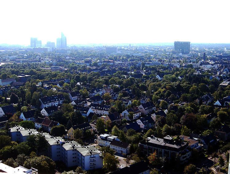
Lindenthal (German: Köln-Lindenthal [ˈkʰœln ˈlɪndɘnˌtʰaːl], Colognian: Lendethal [ˈɫendɘˌtʰaːɫ]) is a city district of the City of Cologne in Germany. It includes the quarters Braunsfeld, Junkersdorf, Klettenberg, Lindenthal, Lövenich, Müngersdorf, Sülz, Weiden and Widdersdorf.
Contents
- Map of Lindenthal Cologne Germany
- History
- Subdivisions
- Transportation
- Twin towns sister cities
- References
Map of Lindenthal, Cologne, Germany
Many parts of Lindenthal are dominated by academic and research campuses, primarily linked to the University of Cologne and the German Sport University. The later has a campus at Sportpark Müngersdorf, next to RheinEnergieStadion and the European College of Sport Science.
The Cologne University Hospital has a vast campus around the Kerpener Straße. Other institutions include the Max Planck Institutes for Biology of Ageing and Plant Breeding Research.
Cologne's Melaten-Friedhof is located on Aachener Straße.
History
During the Cold War, the headquarters of the I Belgian Corps was located in Junkersdorf.
Subdivisions
Lindenthal consists of nine Stadtteile (city quarters, in local dialect Veedel):
Transportation
Lindenthal is served by numerous railway stations and highway. Train station include Köln-Lövenich, Köln-Müngersdorf/Technologiepark and Köln-Weiden West, as well as numerous light rail stations of Cologne Stadtbahn lines 1, 7, 9, 13 and 18. Aachener Straße and Luxemburger Straße connect Lindenthal with the Cologne Ring and Cologne Beltway.
Twin towns – sister cities
Lindenthal is "twinned" with the following cities:
