
Admin. region Schwaben Elevation 764 m (2,507 ft) Area 11.85 km² Local time Saturday 5:43 AM | Time zone CET/CEST (UTC+1/+2) Population 11,215 (31 Dec 2008) Postal code 88161 | |
 | ||
Weather 6°C, Wind W at 21 km/h, 81% Humidity | ||
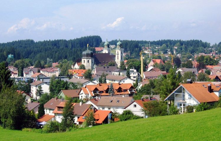
Street view lindenberg im allg u in germany
Lindenberg im Allgäu is the second largest town of the district of Lindau in Bavaria, Germany. It is an acknowledged air health resort.
Contents
- Street view lindenberg im allg u in germany
- Map of Lindenberg im AllgC3A4u Germany
- History
- Education
- Waldsee
- Economy
- International relations
- Notable people from Lindenberg
- References
Map of Lindenberg im Allg%C3%A4u, Germany
History
The town was first mentioned in 857, when two nobles donated in "Lintiberc" to the monastery of St. Gall.
In 1570, the Austrian branch of the House of Habsburg acquired the demesne of the heirless sovereignty of Altenburg, including Lindenberg, back then a consolidation of about 70 farms.
The city fell to Bavaria in 1805 as part of Napoleon's Treaty of Pressburg
As early as 1656 straw hats from Lindenberg were sold by peddling and in markets. In 1755, the production and shipping of straw hats became organized. The hat industry has declined in recent decades and now has hardly any economic importance. Hat making is still remembered today in an annual "Huttag" ("hat day") as well as in a hat museum.
Education
The main school of the Humboldt Institute is in Lindenberg.
Waldsee
The Waldsee is one of the highest moors in Germany at 765.4 m (2511.2 ft). It was initially established as a fish pond in the Middle Ages, but today it is used as a swimming area.
Economy
Important employers are:
International relations
Lindenberg im Allgäu is twinned with: