
Quadrant SW Elevation 1,130 m (3,710 ft) | Ward 11 Postal code T3E Local time Friday 8:33 PM | |
 | ||
Weather 4°C, Wind S at 19 km/h, 52% Humidity Restaurants Spot On Kitchen & Bar, The Hub, Local 002 Public Tavern, Zen Vietname Grill, Cultures & Vanellis | ||
Lincoln Park is a neighbourhood in the southwest quadrant of Calgary, Alberta located north of Glenmore Trail and west of Crowchild Trail. Notable landmarks in the neighbourhood include Mount Royal College and the ATCO Industrial Park. The neighbourhood is located on the section of the former Canadian Forces Base Calgary that during World War II was a Royal Canadian Air Force airfield; the name of the district derives from a small area of military housing located between 54th Avenue S.W. and Glenmore Trail which was reserved for United States Air Force members stationed at the airfield during World War II.
Contents
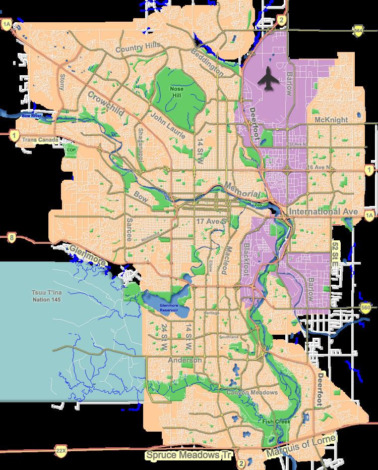
Map of Lincoln Park, Calgary, AB, Canada
Demographics
In the City of Calgary's 2012 municipal census, Lincoln Park had a population of 7003250500000000000♠2,505 living in 7003141300000000000♠1,413 dwellings, a 0.2% increase from its 2011 population of 7003250100000000000♠2,501. With a land area of 1.5 km2 (0.58 sq mi), it had a population density of 1,670/km2 (4,330/sq mi) in 2012.
Residents in this community had a median household income of $30,411 in 2000, and there were 28.9% low income residents living in the neighbourhood. As of 2000, 18.8% of the residents were immigrants. A proportion of 62.7% of the buildings were condominiums or apartments, and 62.7% of the buildings was rented. The residential sector is made up completely of rental housing.