
Country Philippines Province Palawan Formed 1954 Area 195.4 km² Local time Saturday 9:16 AM | Region MIMAROPA (Region IV-B) Congr. district 1st district Barangays Population 14,180 (2010) | |
 | ||
Weather 26°C, Wind E at 34 km/h, 72% Humidity Neighborhoods Nangalao, Calibangbangan, San Nicolas, Maroyogroyog, Cabulauan, Pinamalayan, Guadalupe, San Pedro | ||
Linapacan is an island municipality in the province of Palawan, Philippines, with a fifth-class income classification. According to the 2010 census, it has a population of 14,180 people.
Contents
Map of Linapacan, Palawan, Philippines
History
When Spaniards came in the 16th century, they made a fortress called Caseledan Port and Eli Port to be able to protect against Moro raiders.
In 1954, the islands of San Miguel, Cabunlawan, Nangalao, Decabaitot,Maroyogroyog,New Colaylayan, San Nicolas, Calibangbangan, Pical, and Barangonan were separated from Coron to form the town of Linapacan.
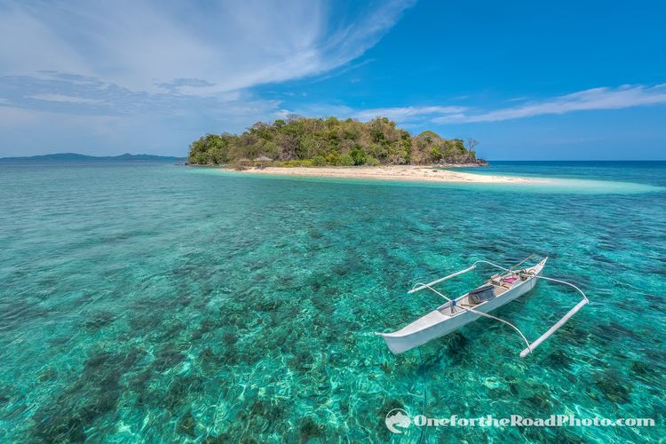
In October 2013, the Daily News Dig (www.dailynewsdig.com) proclaimed the waters of Linapacan Island so clear that the said global website put it on the top of their list of 35 waters to swim in around the world before one dies.
Barangays
Linapacan is politically subdivided into 10 barangays.