
 | ||
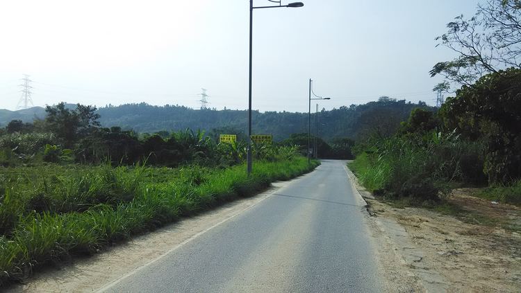
Lin Ma Hang Road (Chinese: 蓮麻坑路) is one of the northernmost roads in Hong Kong. Most of the road was built along the border with mainland China along the Shum Chun River.
Map of Lin Ma Hang Rd, Hong Kong
The road spans from Man Kam To to Sha Tau Kok. The entire length of the road falls within the Frontier Closed Area until January 4, 2016. Currently, only about 700 metres of the road near Lin Ma Hang is inaccessible. As of March 2016 the road is undergoing widening construction.
References
Lin Ma Hang Road Wikipedia(Text) CC BY-SA